
Frontiers in Science Lead Article
Published on 05 Mar 2024
A Digital Twin of the terrestrial water cycle: a glimpse into the future through high-resolution Earth observations
- 84,548 views
- 42 citations
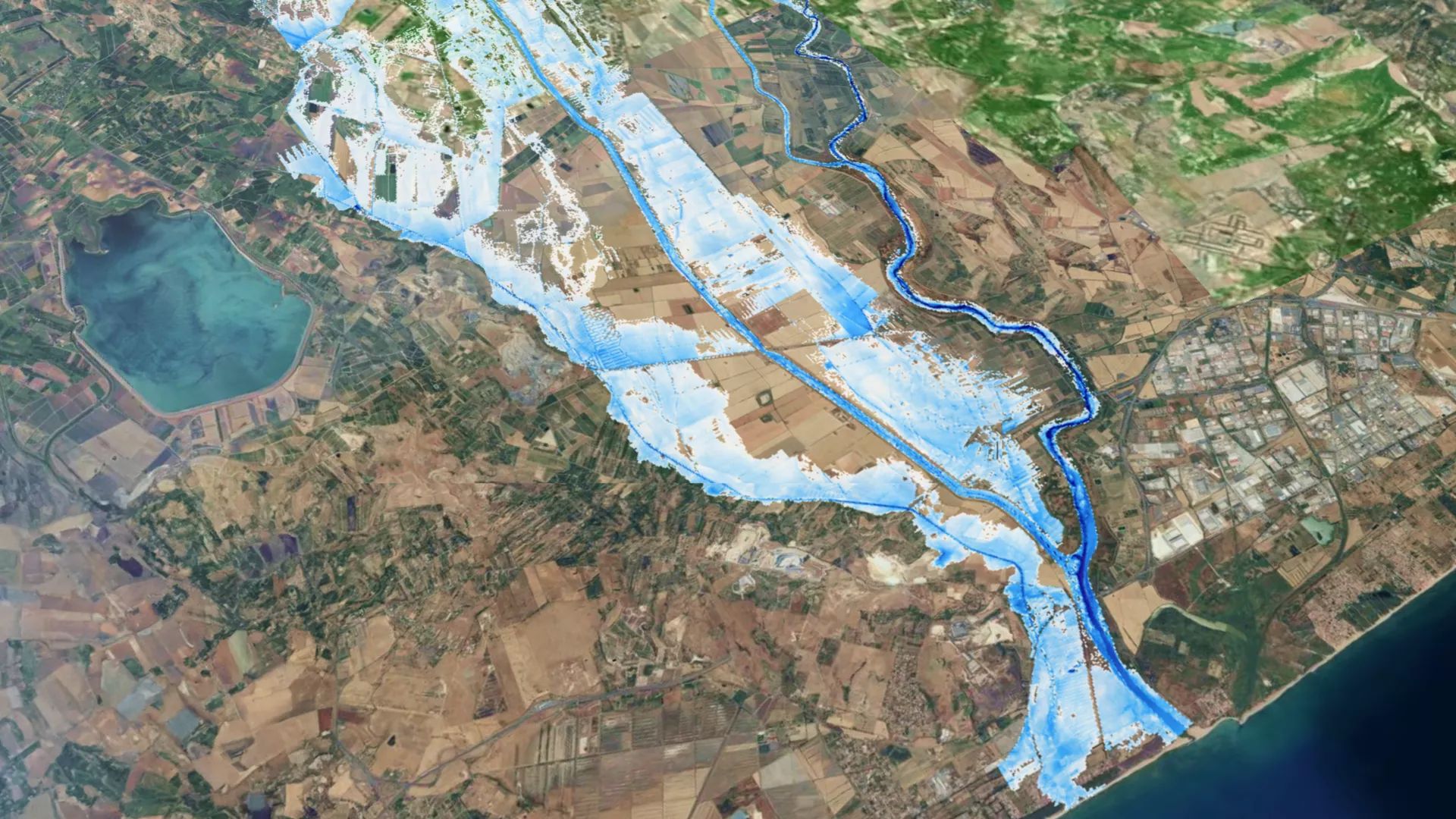

Frontiers in Science Lead Article
Published on 05 Mar 2024
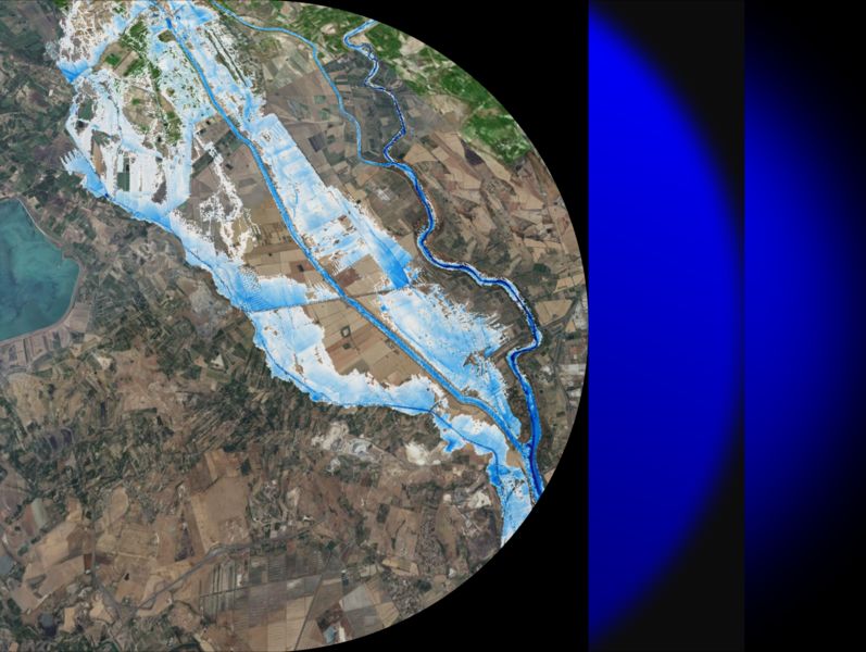
At a virtual Frontiers Forum Deep Dive session on 29 May 2024, Dr Luca Brocca and other experts delved into the breakthrough Digital Twin Earth Hydrology Platform, and its potential in enhancing disaster prediction and water resource management.

Prof Ana P. Barros, of the University of Illinois Urbana Champaign, USA, highlights how digital twin Earths leverage a step-change in the spatial resolution of Earth observations, and outlines a strategy to handle complexity and understand and quantify uncertainties in digital twin models.

Prof Bob Su and Dr Yijian Zeng of The University of Twente, Netherlands, underscore the importance of integrating augmented Earth observation data into a digital twin of the soil-plant-atmosphere continuum, to better understand water-energy-carbon dynamics within ecosystems and refine climate predictions and resource management.

Prof Christina (Naomi) Tague, of the University of California, Santa Barbara, USA, discusses emerging best practices and potential challenges for ensuring digital twin Earths continuously evolve to encode our growing understanding of local Earth systems and provide credible, reliable, and useful information.

Dr Giriraj Amarnath, of the International Water Management Institute (IWMI), Sri Lanka, discusses policy considerations for developing and deploying secure, equitable digital twin Earths that can help move natural disaster responses away from a reactive “fire drill” mentality and instead proactively build resilience.
The increasing likelihood and severity of extreme water-related events necessitate high precision decision-support systems to predict and monitor water-related environmental disasters and optimally manage water resources.
A Digital Twin Earth (DTE) of the terrestrial water cycle offers a ground-breaking solution for monitoring and simulation, but it requires high-resolution (1 km, 1 hour) satellite Earth observation (EO) data and an understanding of the human impact on hydrological processes.
High-resolution EO data are now being integrated with advanced and spatially distributed modeling systems, enabling large-scale applications of a DTE for hydrology to be explored to forecast flash floods and landslides, enable precision agriculture, monitor fires, and develop what-if scenarios for flood risk assessment and water resources management.
To scale up a DTE for hydrology, we need to assess high-resolution products across regions and climates, integrate compatible, multi-scale EO data and models, manage uncertainty in data, and implement collaborative research infrastructures.
Various planned satellite missions will further facilitate a DTE for hydrology toward global benefit if the scientific and technological challenges we identify are addressed.
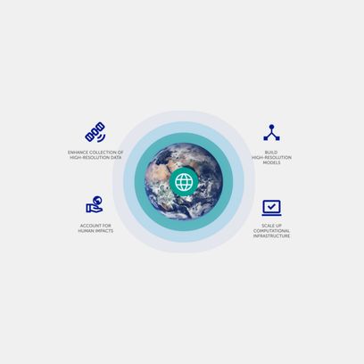
A summary of the lead article in a Q&A format, with infographics and a video.
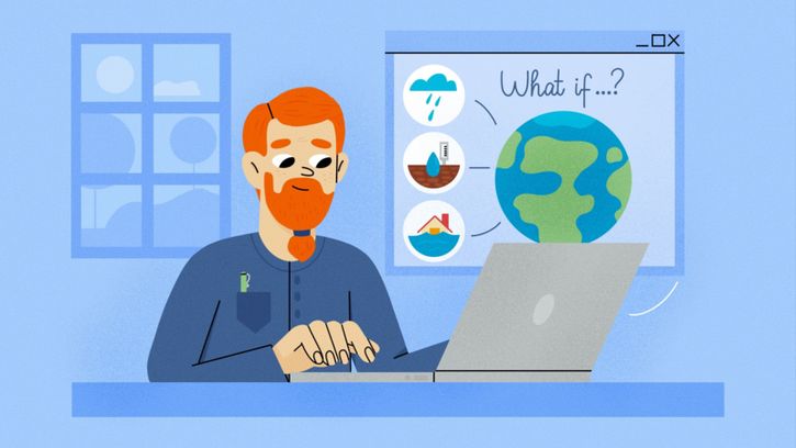
A version of the lead article written for—and peer reviewed by—kids aged 8-15 years.
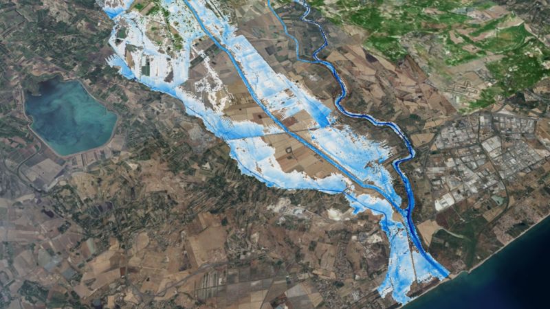
Scientists demonstrate the use of next-generation satellite data and advanced modeling to build virtual replicas of the terrestrial water cycle that can track water resources and create detailed simulations of flooding and other extreme events.

A virtual model of the water cycle on Earth will serve to optimize the management of water resources and the mitigation of water-related natural disasters. The platform was created as part of the “Digital Twin Earth Hydrology” project funded by the European Space Agency.

A study describes one of the most advanced digital twins developed to date. The hydrological model, which allows for the reconstruction of water cycle dynamics for the entire Mediterranean Basin, was developed to provide a tool for water resource management and climate change risk mitigation.

Many people are hit unprepared by floods or landslides. A project funded by the European Space Agency is now making the water cycle predictable.

Scientists want to simulate various climate conditions to help prevent real life risks to our planet.

How a group of researchers is creating a digital twin for simulations to make better decisions around a water cycle impacted by climate change.

A digital twin of the Mediterranean basin has been developed to improve knowledge of the water cycle with the use of satellite images.

Right now, humanity is at a crossroads. Climate change, environmental biodiversity loss and extreme events affect us all, but some of us are affected more than others. This is causing big problems for society.
Follow the science, follow Frontiers in Science